


Jobs in Industrial Engineering
Industrial engineers use fundamental skills transferable to systems and management [...]
Consider these three events:
These three seemingly unrelated incidents have one common thread: geographic information systems (GIS) data. GIS is essentially a mapping tool that gathers, organizes, and stores geospatial data for analysis. The data gathered can be as diverse as engineers want them to be: from physical coordinates of forests, rivers, mountains to details about building locations and uses (nuclear facility, anyone?) to socio-economic data about area residents and more. GIS fuels many intelligence operations—whether they are in retail or at the highest levels of government.
The median salary for GIS jobs is in the neighborhood of $53,000, and the number of job opportunities is expected to grow at an impressive 20 percent clip through 2022 as more and more employers find themselves in need of GIS specialists. Those are reasonably promising numbers, suggesting that now might be a good time to consider investing in a bachelor’s degree or, better still, a master’s degree in geographic information systems.
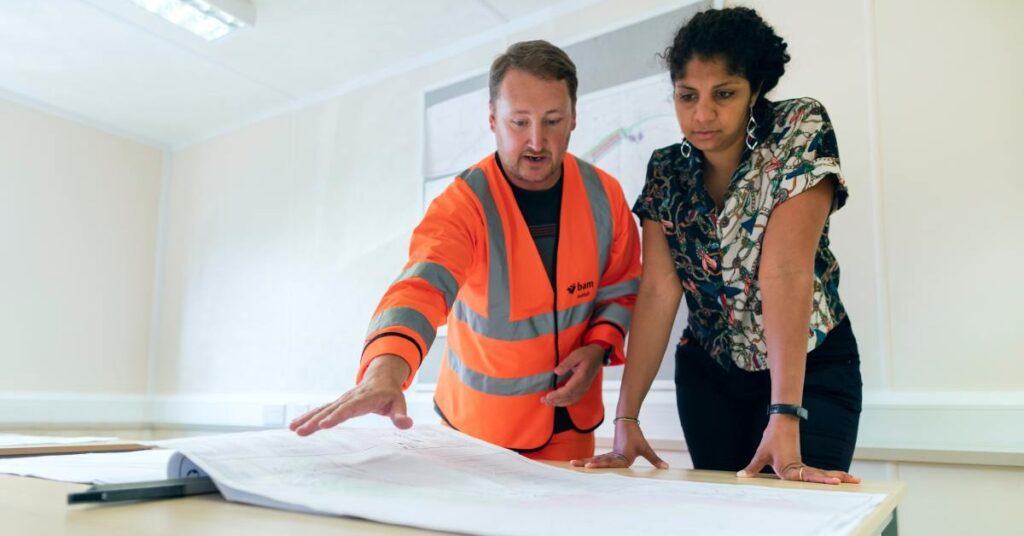
If you’re eager for a peek under the hood, expect to learn the following five skills while pursuing a geographic information systems degree.
GIS jobs will have you gather all relevant data about neighborhoods, cities, countries to drive decisions based on this robust data. Since geographic evidence has a wide range of applications, you can work in any number of fields and learn to make informed decisions that deliver results. Should you decide to switch industries at some point, your fungible experience will travel with you.
A GIS analyst in a state’s department of environmental protection, for example, can use GIS software to predict exactly where rivers are going to flood and when. Government officials might lean on such information to issue evacuation orders. Public health employees use GIS data to monitor the spread of disease and proactively issue disaster responses. If you want to work in retail, you can use geospatial intelligence to gauge the effectiveness of marketing campaigns — a sales flyer from an exclusive store, for example, can target neighborhoods with relatively high median incomes or home values.
| University and Program Name | Learn More |
|
University of Washington:
Master of Science in Information Management
|
GIS data is often layered, starting with basic geographical coordinates like latitude and longitude and then mapping additional attributes such as physical features (parks, schools etc.) and neighborhoods, census data such as the number of children in various homes, and more.
As these seemingly disparate points of information are all connected by location, neat patterns begin to emerge and you become skilled at analyzing the interconnectedness of certain data sets such as income and school achievements, flooding and expenditure on drainage, and more.
The frustrating aspect of GIS is that data might come from anywhere. The fun aspect of GIS is that data might come from anywhere. A geographic information systems master’s degree will make you an ace sleuth, able to find data no matter in which form it might be presented — through an aerial photograph or in actual Cartesian maps.
You have to know the past to understand the present. Layered GIS data gathered over long periods of time can point to how processes evolve. For example, scientists can use satellite data from the polar ice caps to show the effects of climate change. Time-lapse photography of ocean shorelines can also document erosion and other long-term patterns. Similarly, data about forests can show the incidences and strengths of forest fires. Since a GIS job allows you to work with disparate data and plug it all into a uniformly workable system, earning a GIS master’s will make you a skilled historian, able to tell the story of a place over time.
Working in GIS is not merely about learning past history; it’s about using that history to predict the future. A master’s in GIS will teach you how to gaze into the crystal ball and forecast outcomes proactively.
Significant savings are to be had if professionals can, for example, predict shoreline erosion to environmental protection, real estate and tourism industries. Knowledge of when and where disasters (even slowly unfolding ones) are going to hit can give decision-makers the intelligence they need to make strategic business decisions about resource allotment.
GIS professionals are in increasing demand especially on the frontlines of climate change. If you enjoy being steeped in varied and valuable information about the systems around you, a master’s in geographic information systems might well be worth a look.
Questions or feedback? Email editor@noodle.com
Industrial engineers use fundamental skills transferable to systems and management [...]

IT professionals are coming out of the woodwork to secure [...]
Many people pursue their master's in industrial engineering to advance [...]

A Master of Science in Industrial Engineering provides expert knowledge [...]
Categorized as: Information Technology, Information Technology & Engineering